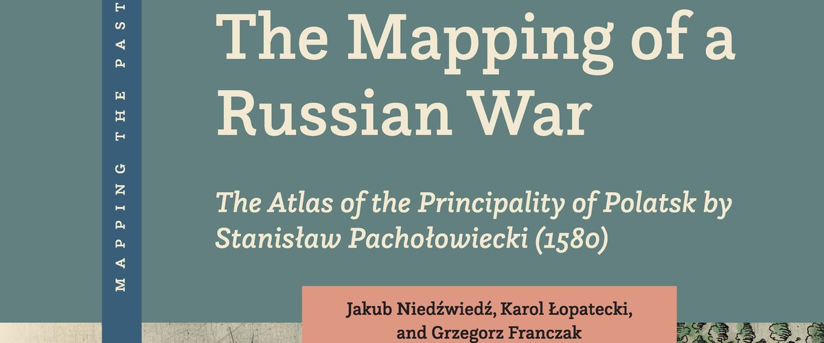
The Mapping of a Russian War: The Atlas of the Principality of Polatsk by Stanisław Pachołowiecki (1580) - this is a new book by prof. Karol Łopatecki, from the Faculty of International Relations, published by the prestigious Brill publishing house (co-authored by: prof. Jakub Niedźwiedź and dr Grzegorz Franczak). The publication is the fifth volume in the Mapping in the Past series and is now available in a digital version on the Publishing House's website. It includes, among others: a colored reproduction of the original map by Stanisław Pachołowiecki printed in Rome in 1580.
As emphasized by prof. UwB Karol Łopatecki, his new book is an interdisciplinary work, prepared from a historical, cartographic and philological perspective. It focuses on the military aspects of maps, their political and propaganda use and the construction of political discourse, often conducted hundreds of years after their creation. It also describes the circumstances surrounding the creation of the oldest atlas showing a fragment of the Polish-Lithuanian Commonwealth.
"The authors present an innovative approach to these maps, rarely explored by the international research community" - we read on the Brill publishing house website.
On August 30, 1579, the King of Poland and Grand Duke of Lithuania, Stefan Batory (1533-1586), recaptured the Lithuanian fortress of Polock (now Belarus), captured over fifteen years earlier by the Muscovite army. At that time, the importance of visual information increased - the map became the most modern tool in political propaganda at that time. The King and Chancellor Jan Zamoyski decided to use cartography to illustrate their successes against the Tsar of Moscow and gain the support of European public opinion in the fight against Moscow. For their propaganda purposes, they decided to adapt the military maps of the campaign, drawn in 1579 by military engineers, among others by Piotr Frankus. The whole thing was compiled by Stanisław Pachołowiecki. He made a breakthrough by scaling the fortress plans onto the map of the entire Principality of Polatsk. Instead of symbolically showing the location on the map, it showed miniatures of fortifications which were also published in the same series. They were printed in Rome in 1580 as a coherent set of eight copperplate engravings depicting the military operations of Polish-Lithuanian troops, creating the "Atlas of the Duchy of Polatsk" - reminds UwB professor Karol Łopatecki.
He adds that the original map by Stanisław Pachołowiecki, printed in Rome in 1580 and used as one of the propaganda means of the royal chancellery, gained a new life in the 19th century. First, they were placed in books with a strictly defined and propaganda character. Currently, references to this work can be found in contemporary Polish graphic novels or on Belarusian coins. Thus, the cartographic work fulfills a similar function to those from 445 years ago.
It creates an official, propaganda narrative about the history of Belarus and Poland (incidentally, excluding Lithuania) and about the lasting conflict with the Russian (Moscow) state.
It can be expected that maps of the siege of Polatsk will continue to appear in both textual and iconographic popular representations of the history of Belarus, Poland, Russia and the Grand Duchy of Lithuania.
There are two reasons why this map is still relevant. The first is the symbolic importance of Polatsk for the national historiography of Poland, Russia and especially Belarus. For Belarusians, the Principality of Polatsk is the cradle of their statehood. This is why the city is so often depicted on Belarusian coins and medals.
The second reason why the view from the siege of Polatsk was/is so attractive is its cartographic nature. The map is one of the most effective carriers of propaganda and information content and its persuasive properties are exceptionally strong and durable.
The message embedded in a map can be attractive and valuable to the user even long after the intentions of its authors are lost in time and the map becomes outdated.
- The example of Pachołowiecki's map like other maps from the 16th century, proves that they retained their rhetorical potential. It can be quickly activated and used when needed. This is possible not only because the map itself has such wonderful properties, but activating its message is possible because modern users read the map in a similar way to its original users. The cartographic language is evolving but it is still based on rules taken from ancient Ptomeleusz. These rules can be called cartographic topoi. They include scaling, enlarging, placing important elements in the center and less important ones on the periphery using color and shape, giving priority to elements with different sizes of symbols and lettering and finally looking from God's perspective so characteristic of Renaissance humanism. The rhetoric of the map established in the 16th century is therefore still understandable to us. Just like the Atlas of the Duchy of Polatsk published in Rome in 1580 - adds a scientist from the University of Białystok.
The publication „The Mapping of a Russian War: The Atlas of the Principality of Polatsk by Stanisław Pałachowiecki (1580)” is available in the digital version but there will also be paper copies of the author’s works. Author’s meetings are also planned.